Multi-day hike
Full walk
Cove to road end on foot
Compare optionsMap your stop
Find out about 30 stops
Start by picking a route; tap a pin or stop for its note and Google Maps.
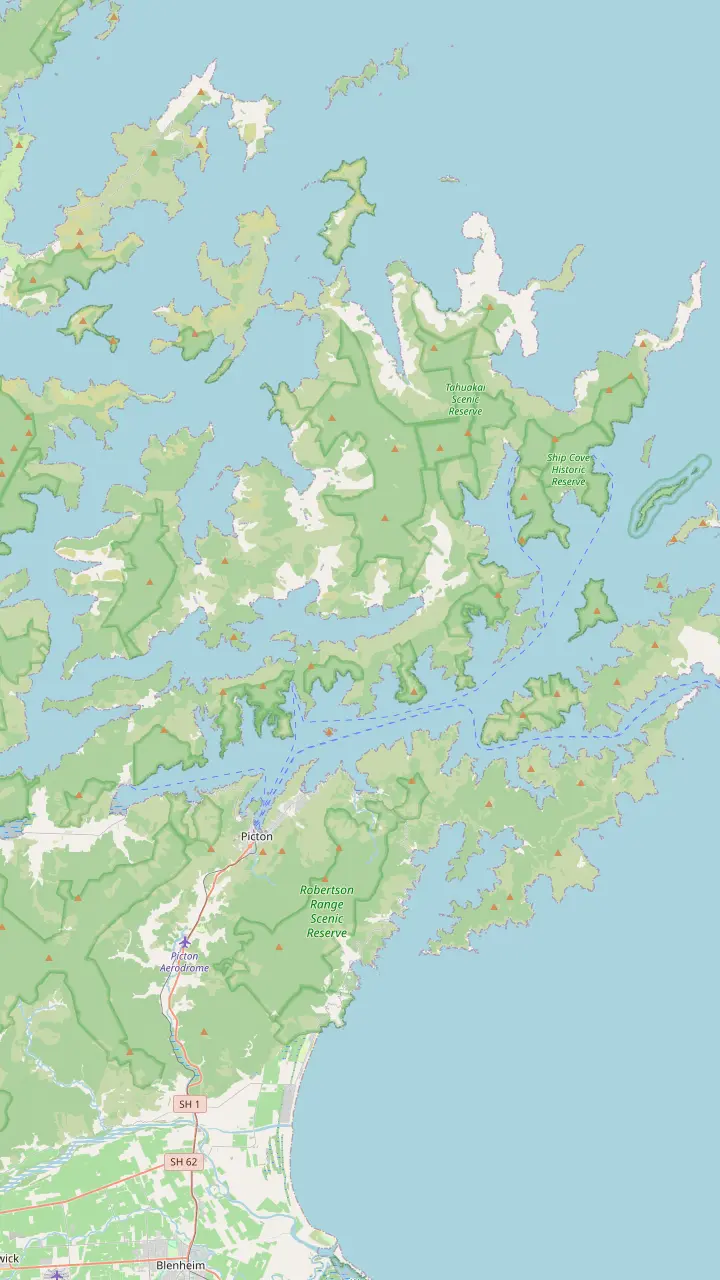
Cook's anchorage and the start of the track, reached only by boat.
Google MapsA sheltered bay inside Resolution Bay with a campsite beside the track.
Google MapsA long inlet with lodges, where a small antimony mining town stood in the 1880s.
Google MapsA small bay with a campsite and a resort nearby, at the foot of the climb to the ridge.
Google MapsThe road end on the ridge where the track crosses into private land.
Google MapsA ridge-top campsite above the bay of the same name.
Google MapsA ridge-top campsite with wide views over both sounds.
Google MapsA bay below Torea Saddle with a campsite, near Portage.
Google MapsA short side trip from the track to a lookout above the inner sound.
Google MapsA bay with cabins and campsites, reached by road or boat, and short forest walks.
Google MapsA beech-shaded bay with a campsite, an hour from the track end.
Google MapsThe southern end of the track, with a jetty, toilets and a car park.
Google MapsThe ferry port and the base for every cruise and water taxi on the sound.
Google Maps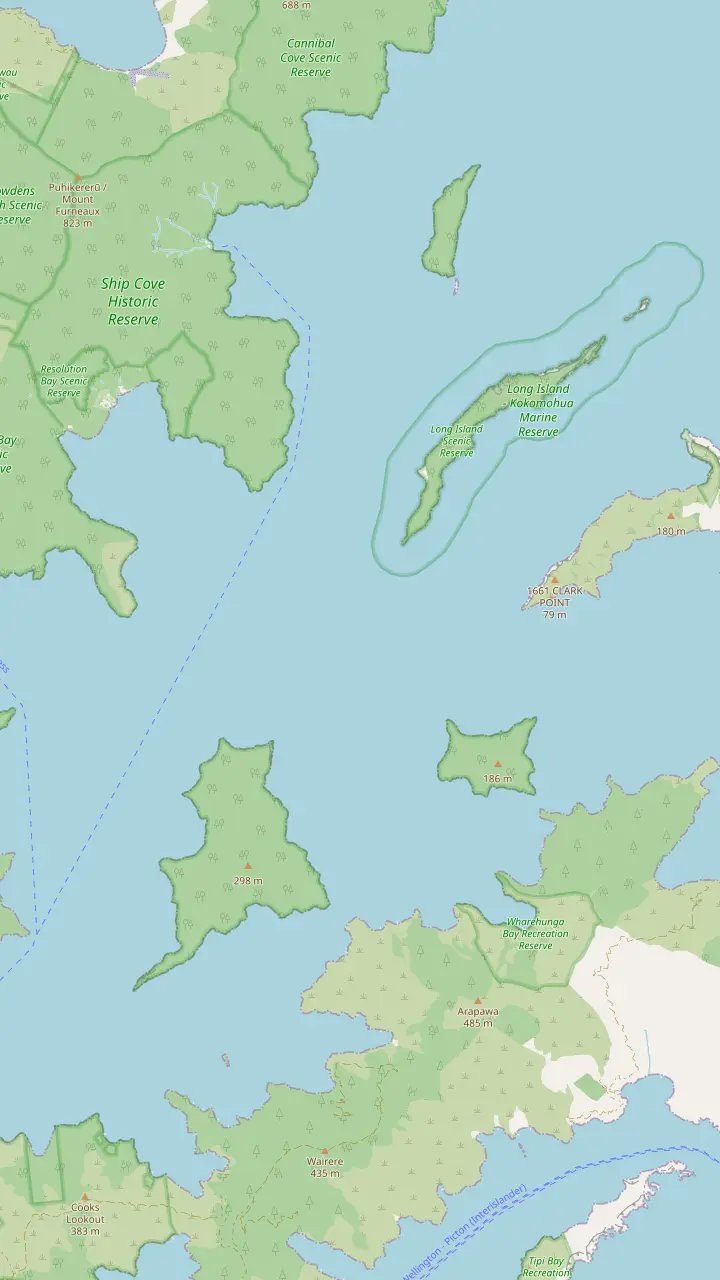
Cook's anchorage and the start of the track, reached only by boat.
Google MapsA sheltered bay inside Resolution Bay with a campsite beside the track.
Google MapsA predator-free bird sanctuary opposite Ship Cove, about 32 km from Picton, with a jetty and a summit lookout.
Google MapsA cove just north of Ship Cove with a campsite.
Google MapsThe larger island of a marine reserve at the mouth of the sound, established in 1993.
Google MapsA rocky point on the peninsula where rats and possums are kept from reinvading.
Google MapsThe large island between the sound and Tory Channel.
Google MapsThe remains of the Perano whaling station, which worked from 1911 to 1964; the site is closed.
Google MapsThe bay beside Fishermans Bay where New Zealand's first onshore whaling station opened in 1829.
Google Maps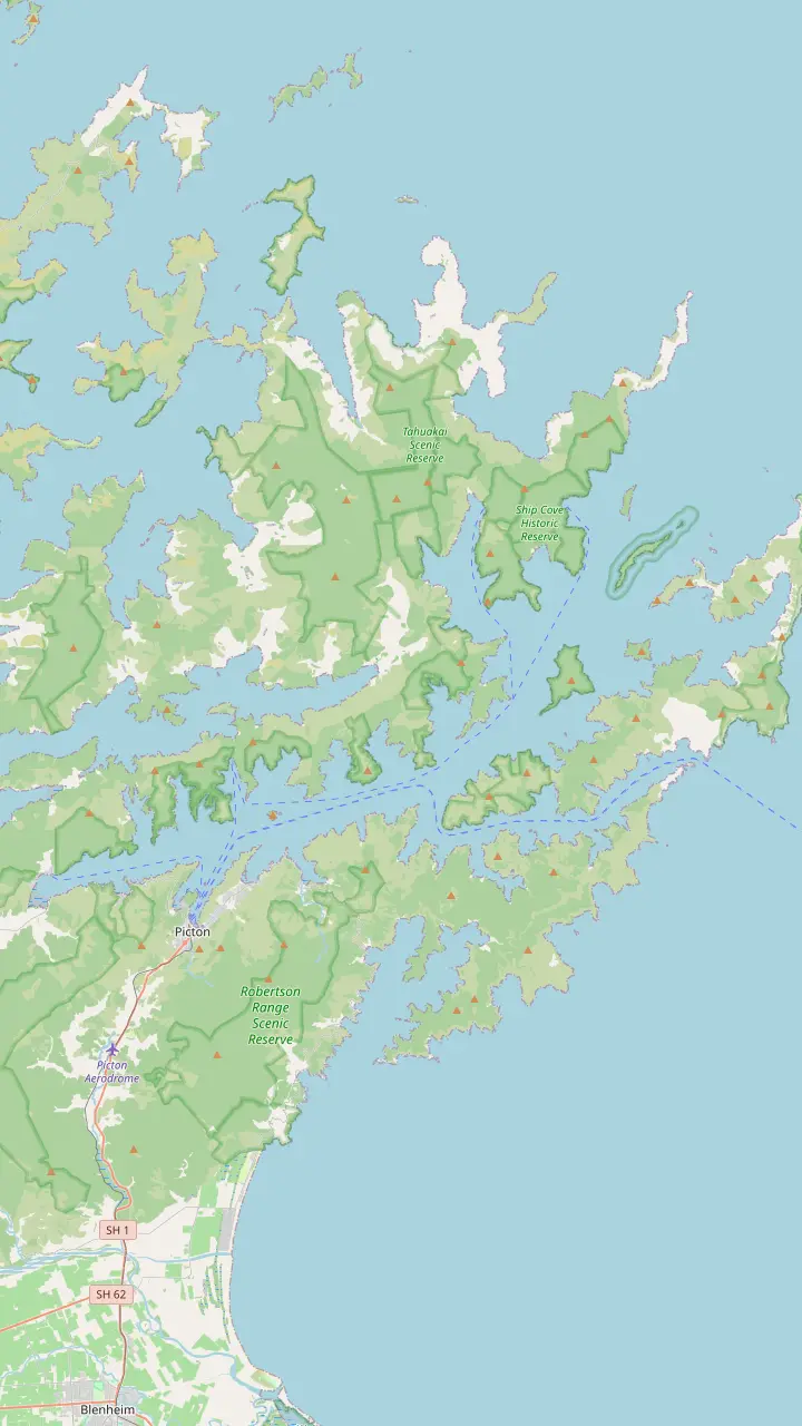
The ferry port and the base for every cruise and water taxi on the sound.
Google MapsA bay just west of Picton where cruise ships berth at Waimahara Wharf.
Google MapsA bay east of Picton with Waikawa Marae and a buoyed swimming area.
Google MapsA cove where tame fish are fed and fishing is banned.
Google MapsA small island sanctuary in the inner sound, free of predators.
Google MapsA bay in the inner sound with a lodge reached by boat.
Google MapsA bay with cabins and campsites, reached by road or boat, and short forest walks.
Google MapsA bay in Grove Arm on Queen Charlotte Drive.
Google MapsA bay with a DOC campsite below the track.
Google MapsThe jetty below Torea Saddle, where boats meet walkers.
Google MapsA ridge-top campsite above the bay of the same name.
Google MapsA long inlet with lodges, where a small antimony mining town stood in the 1880s.
Google MapsA predator-free island sanctuary with a campsite.
Google MapsA quiet bay on the Arapaoa side of the outer sound.
Google MapsCook's anchorage and the start of the track, reached only by boat.
Google MapsA predator-free bird sanctuary opposite Ship Cove, about 32 km from Picton, with a jetty and a summit lookout.
Google Maps© OpenStreetMap contributors, map data
A long ridge walk above two sounds, where boats carry the heavy bags. How the Queen Charlotte Track divides up, where it begins, what the land pass covers and which months suit it.
Editorial team, queencharlottesoundcruise.click · Updated November 8, 2026 · Quick read: 8 min
Overview
The Queen Charlotte Track runs 73.5 km from historic Meretoto/Ship Cove, the cove where James Cook anchored, to Anakiwa at the head of Grove Arm.1 It counts as a section of Te Araroa Trail and also as one of the Ngā Haerenga cycle trails, so you share it with riders as well as walkers.1,6 Conservation staff, the district council and private landowners look after it together, and the land in the middle belongs to private owners.7,4
The line grew out of old bridle paths that once tied farms together, including the school at Schoolhouse Bay that local children reached on foot or by pony.8,9 Landowners cut a walkable route between 1981 and 1983 and a rough track opened to the public early in 1983.10 Maintenance passed to DOC in 1987, a crew of 150 Air Force men later reopened overgrown stretches, and by November 1991 the pieces had been joined into one walkway.11,12,13
It is long rather than steep. The ground rolls between sea level and 400 metres, the tread is mostly 1 to 1.5 metres wide, and the larger streams have bridges.14,15 The catch is the clay, which turns greasy after rain, and DOC also warns of blind corners, drops at the outer edge and the odd fallen tree.16 The official track site rates it an easier tramping track for moderately fit people, while DOC files it as intermediate.17,2
Walk and ride
| Stage | Walk time | Distance | Road |
|---|---|---|---|
| Ship Cove to Resolution Bay | 2 hr18 | 4.5 km18 | Boat only |
| Resolution Bay to Endeavour Inlet | 3 hr19 | 10.5 km19 | Boat only |
| Endeavour Inlet to Camp Bay | 4 hr20 | 11.5 km20 | Boat |
| Camp Bay to Torea Saddle | 8 hr21 | 24.5 km21 | Saddles by road |
| Torea Saddle to Mistletoe Bay | 4 hr22 | 7.5 km22 | Road and boat |
| Mistletoe Bay to Anakiwa | 4 hr24 | 12.5 km24 | Road and boat |
DOC walking times are set for a slow walker; road and boat access as DOC and the official track site list them.37,32,31
Where does the Queen Charlotte Track start? At Meretoto/Ship Cove, and although you may walk or ride it in either direction, DOC recommends beginning at that northern end.25 No road reaches the cove, so an end-to-end trip opens with a boat ride out of Picton, which Destination Marlborough calls the best way to begin.3,26 Riders load their bikes for a cruise of about an hour up the sound, a good first look at the bays ahead.27
Starting in the north brings another advantage. Boat operators can move your luggage between overnight stops from that end, leaving you to walk with a day pack.28,29 Boats also land walkers at Resolution Bay, Endeavour Inlet, Camp Bay, Torea Bay, Mistletoe Bay and Anakiwa, which makes shorter itineraries easy to stitch together.30 Endeavour Inlet and Resolution Bay, like Ship Cove itself, have no road access at all.31
Coming by car, you can join at Anakiwa, Mistletoe Saddle, Torea Saddle or Kenepuru Saddle.32 Parking at those road ends is limited and unsecured, which is worth weighing before you leave a car there for days.33 At the southern end, on-demand shuttles run between Anakiwa and Picton, and Queen Charlotte Drive links the town with the Anakiwa road.34,35 Riders can also keep pedalling, as the Link Pathway is slowly joining Anakiwa to Picton and Havelock.36
DOC divides the walk into stages and sets its times for a slow walker, so a day hiker with a light pack will usually beat them.37 The opener is gentle: Ship Cove to Resolution Bay is 4.5 km and about 2 hr, climbing through old forest to a saddle you reach after 50 minutes, with views over the inner and outer sound.18,41 Resolution Bay to the head of Endeavour Inlet adds 10.5 km and about 3 hr, then 11.5 km and about 4 hr lead along the shore to Camp Bay.19,20
Then comes the crux. Camp Bay to Torea Saddle is 24.5 km and about 8 hr on foot, along the spine that separates Queen Charlotte Sound from Kenepuru Sound, and DOC calls it the longest and hardest stage.21,42 You can break it at the ridge-top campsites: Bay of Many Coves lies about 3 hr from Camp Bay and Black Rock about 6 hr.21 On a clear day the reward is a long panorama over both sounds, with bays opening below on each side.
The last stretches are shorter but still hilly. Torea Saddle to Mistletoe Bay is 7.5 km and about 4 hr through gorse and mānuka that is slowly giving way to young forest, and a side path leads to the Onahau Lookout before the descent to Te Mahia Saddle.22,23 Mistletoe Bay to Anakiwa is 12.5 km and about 4 hr on old bridle paths high above the water, ending in mature beech forest beside the Outward Bound school.24,43
Plan it
Start from your time, your legs and how much you want to carry.
If I have a long weekend
Walk the northern stages
Ship Cove to Camp Bay runs along the shore and is reached by boat.18,20
If I want the big views
Take on the ridge
Camp Bay to Torea Saddle follows the ridge between two sounds.21
If I ride and want a challenge
Bike it over a few days
The official site suggests 2 to 3 days on the bike.38
If I hate carrying a big pack
Book a bag transfer
Water taxis carry packs between places to stay.29
If I have only one day
Ride or walk one section
DOC names Mistletoe Bay to Anakiwa as a good day ride.40
Pick your version
Multi-day hike
Cove to road end on foot
Compare options
Mountain bike
Single track on two wheels
Compare options
Short visit
Boat out, walk back to a pick-up
Compare optionsHow long is the Queen Charlotte Track for a walker? It measures 73.5 km, and both DOC and the official track site budget 3-5 days for it.2,38 The spread comes from how you divide the long ridge stage and where you sleep. DOC's guide times are written with slow walkers carrying overnight gear in mind, so people on a lodge-and-boat plan with day packs tend to arrive earlier.37 Leave room for swims, side trips and long lunches at the bays.
An unhurried plan sleeps near Resolution Bay or Endeavour Inlet, then around Camp Bay or Punga Cove, then near Portage or Torea Bay, and finishes at Anakiwa. A quicker plan merges the short opening stages into a single day and pushes on along the ridge. Lodges, cabins and campsites sit beside or close to the track, but some private places are reached by steep side paths, so ask each host for directions when you book.
Distance, not climbing, is what tires people on this route, especially on the second half. With the high point near 400 metres there are few brutal ascents, yet the stages between Camp Bay and Anakiwa are long, and that is where pacing matters.14,15 Book every night before you set off. DOC campsites need a booking all year, the official FAQ confirms there are no DOC huts, and Picton beds also fill in peak season.58,62,63
Stage by stage
Opening leg
4.5 km, about 2 hr, with a saddle lookout on the way.18
Into the inlet
10.5 km, about 3 hr, ending at the old mining valley.19
Shoreline
11.5 km, about 4 hr, through regenerating forest.20
The ridge
24.5 km, about 8 hr, the longest stage.21
Gorse country
Final leg
12.5 km, about 4 hr, on old bridle paths.24
Mountain biking the Queen Charlotte Track is the quicker way through. The official site puts the full ride at about 13 hours, best spread over 2 to 3 days, and calls it the country's longest stretch of unbroken single track.38,64 DOC grades the riding at grade 3, 4 and 5, and on the ridge between Camp Bay and Torea Saddle it expects most riders to push their bikes in places, so fitness and bike handling both count.2,42
DOC's riding guide gives Ship Cove to Camp Bay as about 5 hr and 26.5 km, Camp Bay to Torea Saddle about 4 hr and 24.5 km, and Torea Saddle to Anakiwa about 4 hr and 20 km.65,66,67 The official track site measures the same legs at 28.5, 24.5 and 20.5 kms.68 For a taste rather than the full trip, DOC suggests Ship Cove to Kenepuru Saddle (27 km) or Mistletoe Bay to Anakiwa (12.5 km) as day rides.40
The opening section now takes bikes all year, but in summer riders must take the early boat to Ship Cove and stay ahead of the walkers.39 If the central ridge looks like too much, Kenepuru Road offers a way around between Kenepuru Saddle and Portage.69 DOC advises carrying the tools and spares to fix your own bike.70 Leave the panniers at home: the boats move your bags, and the official FAQ says the ground is too rough to carry them easily.71
Video
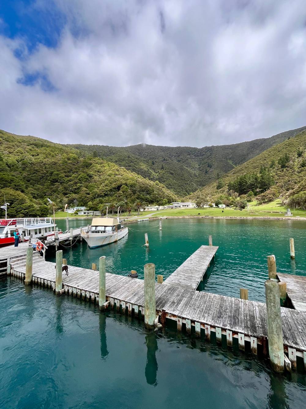
Dane and Stacey on YouTube · The video waits until you tap play to load.
You can walk or ride the track in either direction, but it's best to start from Meretoto/Ship Cove.
Before you set off
Between Kenepuru Saddle and Anakiwa the path crosses private land, and walkers and riders need a pass from the Queen Charlotte Track Land Cooperative for those sections.4 The fees are NZD 25 for a single day, NZD 50 for a multi-day pass used over 5 consecutive days and NZD 75 for a season, and school children travel free.72 You can buy it online or at the Picton, Blenheim and Havelock i-SITEs, DOC Wellington and the Picton waterfront.73
DOC manages six campsites along the track, each with toilets and a water supply, and every one needs a booking whatever the month.74,58 Bring a portable stove, because open fires are banned on the track and the whole of the Sounds sits under a restricted fire season all year.61,75 DOC asks you to treat, filter or boil drinking water for 3 minutes, which matters most in dry spells when some sections run short of water.59
Dogs may only use the stretch between Anakiwa and Davies Bay, with a permit and on a lead.76 Wasps gather on the beech trees in late summer and autumn, so pack antihistamine if stings affect you.60 Near Ship Cove, the Bottle Rock Peninsula is part of a project to stop rats and possums returning without a predator fence, and some of its traps sit beside the path.50 Leave them alone, take every scrap of rubbish out with you, and keep to the track on private land.
The official site says the track can be walked in any month, with November to May the busiest season.5 Spring brings flowering native plants and quieter paths, summer long warm days and more company over the holidays, and autumn settled days with cool evenings.77,78,79 Winter days range from 10 to 24°C on the official site's figures, and the clay is at its slipperiest then, so good soles matter more than ever.80,16
Listen as you walk. Bellbird and tūī answer from the canopy, fantails and South Island robins follow you for the insects your boots disturb, and weka and ruru call around dusk.81 Where the path follows the shore, the estuaries of Endeavour Inlet and Big Bay feed white-faced herons, oystercatchers and kingfishers on twice-daily tides.82 DOC adds that bottlenose dolphins visit the sound regularly and can sometimes be watched from the track itself.83
The names along the way tell older stories. Māori hauled canoes across low saddles between the sounds, the saddle at Torea still links Picton with Kenepuru Sound, and the European name Portage remembers that carrying.84 In the 1880s a small mining town stood at the head of Endeavour Inlet, shipping antimony ore to England.45 Farmers once even planned a canal across Te Mahia Saddle to move wool and stock to Picton.85
FAQ
NZD 25 for a day, NZD 50 multi-day and NZD 75 for a season; school children go free.72
Water taxis can move your pack between places to stay, leaving you with a day pack.29
You sleep at DOC campsites, private camping grounds, resorts or homestays.62
Dogs need a permit and a lead, and may only use the stretch from Anakiwa to Davies Bay.76
The Ship Cove to Camp Bay section takes bikes all year, but summer riders must catch the early boat.39
Sources
Mail boat, water taxi or a day on the track? Ask a real person here.